
In previous installments of this series, I discussed the need to make dungeon and local maps look realistic, suggesting growing places organically over time.
One part of a dungeon or fortress might have been constructed using crude techniques early in its life cycle, while a new method was employed later such as different stonework styles or round versus square towers. For a community, I talked about features such as expanding neighborhoods and concentric city walls that follow the natural course of roads, rivers, and coast lines.
Outdoor Maps That Feel Real
This time, I want to dive into making natural terrain look real. Creating an outdoor environment that feels organic and has verisimilitude can be tricky. We can visualize interesting rock formations, winding waterways, vast forests, and jagged coastlines, but many of us lock up when faced with a blank page, unsure how to capture that realism with only pencil lines. Mapping software provides some cover against uninteresting or fake-looking maps, but even digital tools can’t always rescue us.
Read all the Good Maps articles!
So, how do you achieve a realistic environment in the abstract? Follow a few simple steps to get excellent maps—they aren’t particularly hard. You don’t even need to address all of them, although the more you stick with this advice, the easier terrific maps can be. It’s a matter of changing your thinking.
Avoid Homogeneity
A lot of maps start off wrong because we tend to think of big, sweeping terrain of a single type that covers large swathes of the region or continent. This might be a result of so much fantasy fiction and history lessons that draw attention to such features. Forests and mountain ranges, in particular, suffer from too much sameness. Robin Hood and his Merry Men hid out in Sherwood Forest; Bilbo Baggins and his dwarf companions had to cross the Misty Mountains and traverse the Mirkwood to reach the Lonely Mountain; the Brothers Grimm lent notoriety to The Black Forest (which is actually as much a mountainous region as it is dark, creepy woods). These places are large blobs on the maps that depict them. They seem impenetrable and deadly, and we can be forgiven if we envision them as one constant type of land and flora.
But the reality is much different, as a glance at any topographical map reveals. Forests have sections of deep woods separated by open valleys. Mountains are more often than not multiple smaller ranges that run in parallel with wide plains between them. Wetlands have stretches of solid land at higher elevations, and the “endless miles” of large flatlands are frequently broken up by steep rises, copses of trees, and river bottoms.
One Thing Is Several Things
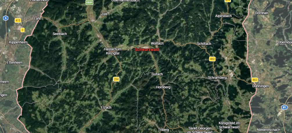
So how do we depict this great variety? First, look at some place that seems like just one kind of terrain in Google Maps. Use the Terrain view and zoom in and out to get a clear sense of what you’re seeing. See how much variety you can spot when you do. For example, here is a view of The Black Forest in Germany. You can see where trees cover the higher elevations, but grassy valleys, roads, and communities lie interspersed throughout.
When you make your own maps, sprinkle in a bit of numerous terrain types, even if you want the predominant type to be clearly defined. If you’re detailing a wetlands area, put some dry, grassy hills here and there. Make some of it forested swamp, other sections open marsh, and include some open bodies of water, too. If you are creating grasslands, include some sharp escarpments, rolling hills, and scrubby bushland in places. The point is to mix and match.
Understand Topography, Physics, and Vegetation
Landforms don’t happen at random. Plate tectonics cause everything from mountain ranges to high valleys to weird fault lines and everything in between. You don’t need a professor’s level of knowledge of topography, but read up a bit on how huge slabs of the earth smash into, pull away from, dive beneath, and grind sideways against one another.
Learn how glaciers gash the land and leave behind deep valleys and odd rock formations. Get familiar with when the rule that “water always flows together” can be broken (hint: check out anabranches, braided channels, oxbow lakes, and deltas (also see Parting of the Waters in Montana). Above all, learn how to read contour lines on a topo map, and look at lots of topo maps. You will see the world in a very different way.
For vegetation, get more granular. A forest is not just a forest. There is a huge difference between a deciduous forest and an evergreen conifer woodland. Majestic old growth forests (sadly few and far between nowadays) are quite different from regions where the trees are younger and the undergrowth is denser. For example:
- The conifer savannahs of the southeast United States are very different from the redwood forests of California.
- The grasslands of the Great Plains are different from the cactus and cedar breaks of west Texas.
- The swamps of Florida look nothing like the maple forests of the northeast.
Spend more than a passing moment deciding that something is “forest” or “grassland.” Get creative.
Use Points of Interest
The Internet overflows with photos of the world. Magnificent mountainscapes, unusual rock features, and crazy side-of-a-cliff roads are everywhere. Your computer’s operating system probably offers a selection of beautiful scenery to use as a background. Use a search engine to hunt for bizarre features you make up in your head and see what photos it suggests. Towering rock spires, steep-sided coastal islands, monasteries perched on the side of cliffs . . . all these and more are scattered on all seven continents. Try doing a search for “craziest land formations in the world” or “most beautiful islands in the world” and see what you get.
Once you do, drop a few of them onto your map. Think about how human beings reached some of these places and use that to your advantage. Make them lairs or defensive fortifications. Cenotes, badlands, arches, mountain peaks, giant trees, weird dry lake beds—the possibilities are almost endless.
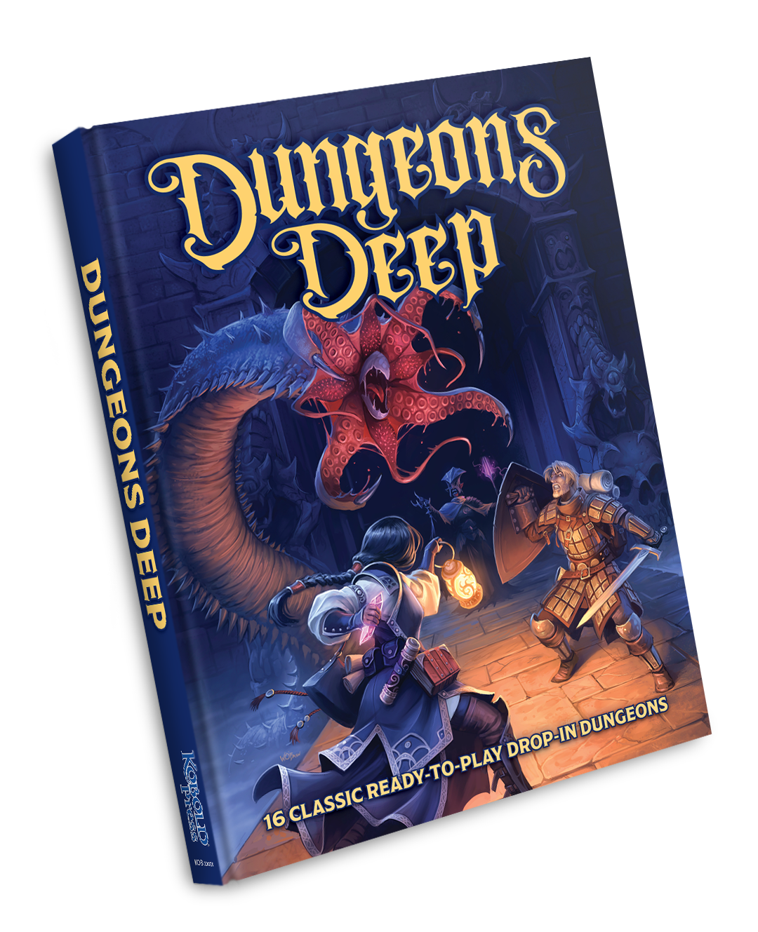
Dungeons Deep delivers 16 drop-in dungeons designed to fit neatly into your D&D campaign—or to quickly expand an existing dungeon of your own design. Each dungeon offers tiered monster-loadouts for low, medium, and high level PCs—so you have 48 options available!
Read more at this site